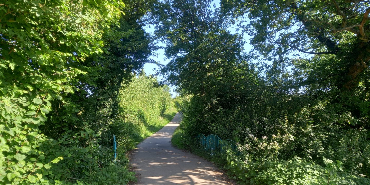
The University of Kent proposes building a new settlement of 2,000 houses, shops and offices on a massive greenfield site in the heart of the Blean Woodland Complex. The area earmarked is twice the size of the central, walled part of Canterbury.
This sprawling project threatens ancient woodland, productive farmland, precious green space, wildlife, and the very character of our villages and communities. You can see the area proposed on this zoomable map.
The Canterbury Council Local Plan consultation closed on 3rd June 2024. We are now focusing on creating Blean Biopark – an alternative vision for the land combining a country park, agricultural research, reforestation and habitat restoration, which we are working on with the University, Kent Wildlife Trust and other partners.
In March, we handed in a petition calling for Canterbury County Council to protect and enhance the Blean landscape and woodland complex, as a vital hub of biodiversity, heritage, agriculture, and community well-being for the benefit of future generations.
Why is this happening?
Canterbury City Council published its draft Local Plan in March 2024, which set out where development could take place up until 2040. Part of the process of formulating the plan involved putting a call out for sites, where local landowners could submit their land to be included for development. Kent University put forward all of the fields it owns between Tyler Hill, Blean and Rough Common. Development agents working for them, Avison Young, started pushing this site by claiming there was “an unignorable economic need for the Sites to be delivered, to ensure the future success of the University” – positioning the University’s finances as a justification for this development (as opposed to real need or planning justifications).
What’s wrong with this plan?
The Blean is an area of ancient woodlands, farmland, heritage sites, the Sarre Penn Valley and the villages of Tyler Hill, Blean and Rough Common sited to the north of Canterbury. The area the University wants to develop is Grade 2 & 3 ‘best and most versatile’ farmland immediately next to multiple conservation areas, heritage buildings and scheduled monuments including a Roman Villa and Medieval Tile Kilns. It would also see houses built on top of the site of a known Iron Age settlement.
The area already suffers from poor drainage and regularly floods, due to the extensive clay soil. Covering the area in concrete will only make this worse.
The process is likely to involve widening roads and turning Rough Common into a major arterial traffic route into Canterbury.
The development would destroy the rural character of the area and turn three distinct villages into a giant conurbation within the suburbs of Canterbury. It would dramatically increase traffic across the north of the city, and heap pressure on our already overwhelmed GPs, schools and public services.
Who are Save The Blean?
We are a constituted community action group – with a bank account in our name, key officers including a Chair, Treasurer and Secretary, and a committee of 18 dedicated members of the community.
What can I do to help?
To help fight the development, local people have come together to create an action group to campaign for this proposal to be removed from the Local Plan. You can:
- Sign up to our newsletter – see the footer below
- Make a donation
- Volunteer to help with the campaign – email info@savetheblean.org
With your help, we can prevent these plans from ever being fulfilled. Please help us Save The Blean.


