There are multiple heritage sites and conservation areas in and adjoining the proposed area for development. These include Listed Buildings, Scheduled Monuments and ancient archaeology in the middle of the development site, as well as Listed Buildings next to the two proposed access points on Whitstable Road.
A dig by the University of Kent Archaeology Department in September 2020 discovered: “a scatter of tools left by hunters of the Mesolithic (9,000 to 4,300 BC), a series of Bronze Age burial mounds (marked by ring-ditches), and a massive medieval enclosure ditch, related to the adjacent Blean Manor House, which is mentioned in the Domesday Book. There is also evidence of tile production, an industry that served Canterbury from this site on ‘Tyler Hill Road’.
“Magnetic survey work has revealed the extent of a now lost Iron Age to Medieval field system, and has identified a new site nearby, potentially a small Roman building. However, the site now stands out in the district for being a centre of sacrality, from its burial mounds to the later church, dedicated to saints Cosmus and Damian.”
The Crab and Winkle Way / Roman Salt Road (a National Cycle Route)
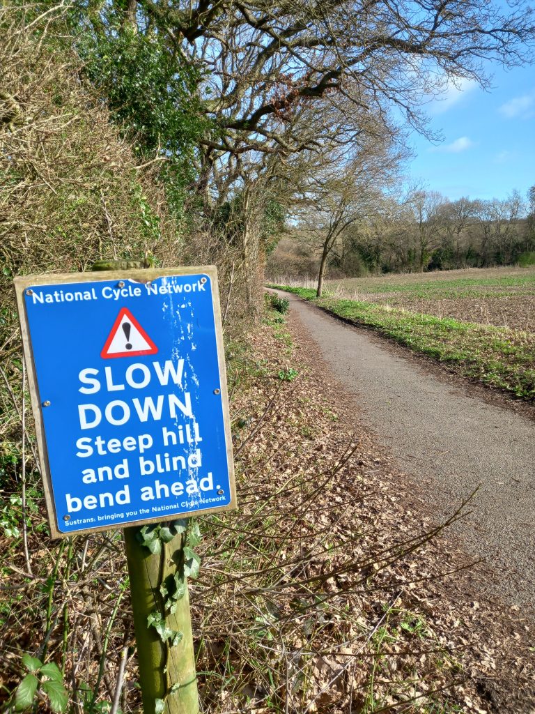
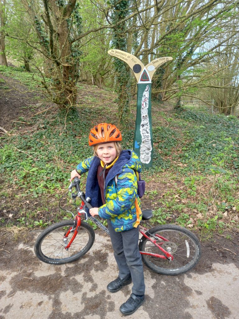
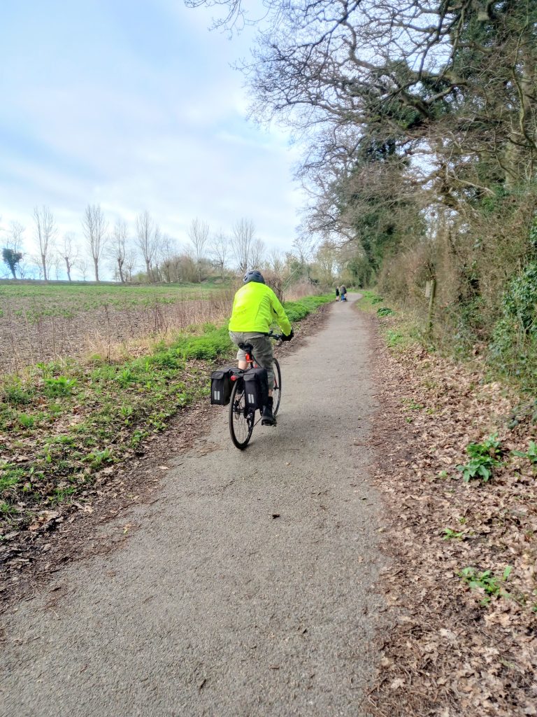
St Cosmus and St Damian’s Church – also known as St Cosmus and St Damian in the Blean, built in 1233 to serve the parish of Blean. The church has a large graveyard with several war graves and a war memorial. The Commonwealth War Graves Commission identifies five soldiers – three from World War I and two from World War II – who are buried there.
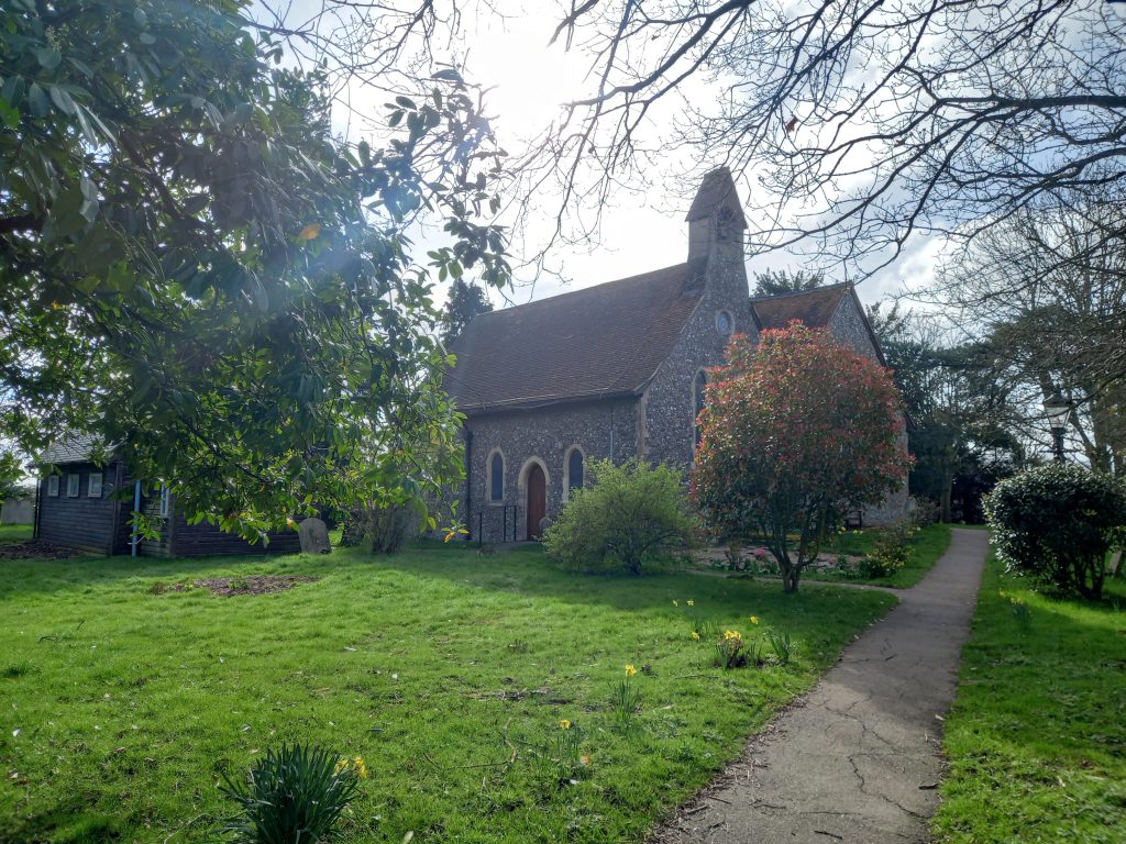


Site of a Roman Villa immediately south west of St Cosmus and St Damian’s Church (a scheduled monument
Site of Medieval Tile Kilns to the east of the site (a scheduled monument)
Bronze Age Settlement in the fields east of St Cosmus and St Damian’s Church – read more here: https://ukcbleandig.wordpress.com/about/
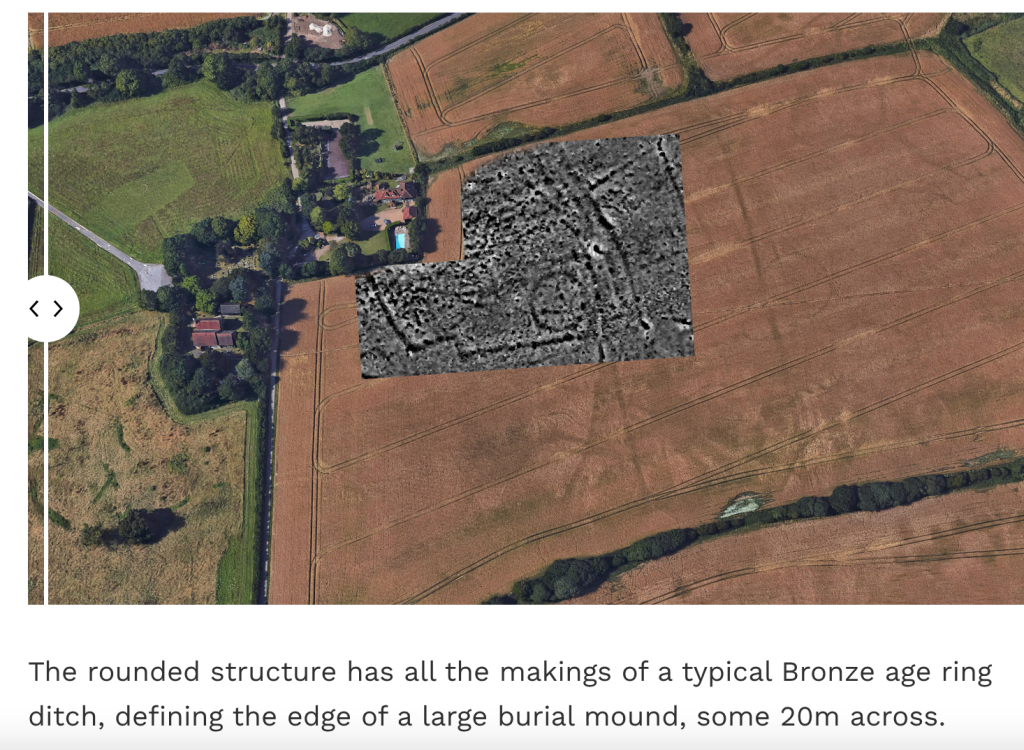
Photo credit: Dr David Walsh and Dr Luke Lavan
Conservation areas adjoining most of the proposed site
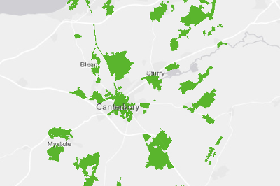
See Historic England’s records of Scheduled Monuments and Listed Buildings in the area for more details.
